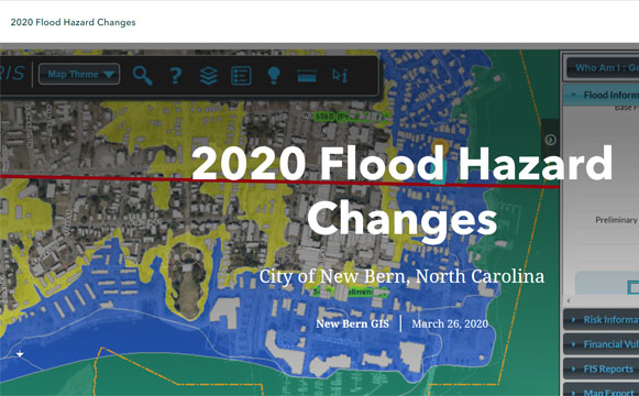
On March 26, 2020, changes to the New Bern GIS Maps were published online.
According to the ArcGIS StoryMaps website: storymaps.arcgis.com:
“Starting June 19th, 2020, new Flood Insurance Rate Maps (FIRMs) will be in effect for all of Craven County, including the City of New Bern.
The following sections and maps will provide general information in regards to the most significant changes and further look at structures and areas affected within the City. In addition, links to more detailed information related to Flood Zones (definitions); Flood Insurance and what you can do before the new maps are adopted can be found below…”
The website also outlines:
– Change #1: Increase in the Special Flood Hazard Areas (SFHA)
– Change #2: Changes to Base Flood Elevations (BFE)
– Change #3: Other Changes
Find out how the new maps and changes will affect you by checking out the maps and reading about all the details.
Wendy Card